|
|
|||
|
|
|||
| Top > Service > Integrated GIS | ||||||||||||||
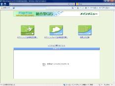
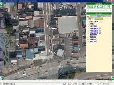
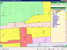
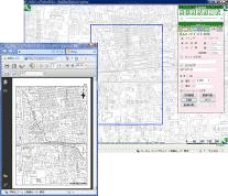
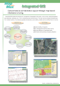
Integrated GISIntegrated GIS is the maintaining and managing of a pool of shared geospatial data. This data can be accessed simultaneously by multiple parties, thus increasing efficiency of operations and reducing the need for redundant investments.
|
||||||||||||||
| Copyright (c) 2016 Teikoku International Corporation All rights reserved. |